En
Log in
All resources
Create a design
Tools
7,118 Free Images of Engraved Maps
national library of poland
baroque
vrbivm praecipvarvm mvndi theatrvm qvintvm (1617)
british library
copper engraving print
joan blaeu
patrimonium 2 (project)
liber qvartvs contrafactur vnd beschreibung von den vornembsten stten der welt (zzk 0.32)
engravings of topographia braunschweig lüneburg
bibliothèque nationale de france
atlas maior, vol 4 (netherlands) - joan blaeu, 1667 - bl 114.h(star).4
1667 maps
atlas maior, vol 2 (sweden, russia, poland, eastern europe, and greece) - joan blaeu, 1667 - bl 114.h(star).2
17th-century maps of poland
maps from the earth and its inhabitants, vol. v
charles eugène perron
maps from the earth and its inhabitants, vol. vii
yarlung tsangpo
maps from the earth and its inhabitants, vol. viii
british raj
amérique méridionale (1748, d'anville)
rococo
vrbivm praecipvarvm totivs mvndi (1612)
maps of urbino by braun & hogenberg
voyages and travels to india, ceylon, the red sea, abyssinia, and egypt, vol. 3
henry cooper (engraver)
atlas de jacoubet, bibliothèque historique de la ville de paris
proletarian literature
maps from the earth and its inhabitants, vol. viii
maps of india
maps from the earth and its inhabitants, vol. ix
maps of tehran
maps from the earth and its inhabitants, vol. ix
maps of tehran
maps from the earth and its inhabitants, vol. vii
maps of keelung
maps from the earth and its inhabitants, vol. v
maps of scandinavia
maps from the earth and its inhabitants, vol. v
maps of scandinavia
maps from the earth and its inhabitants, vol. xvii
maps of minneapolis
maps from the earth and its inhabitants, vol. viii
maps of india
maps from the earth and its inhabitants, vol. xv
circumpolar maps
ross township, butler county, ohio
hill forts in the united states
maps from the earth and its inhabitants, vol. xvi
maps of mexico
maps from the earth and its inhabitants, vol. vii
maps of lhasa
maps from the earth and its inhabitants, vol. xi
maps of benghazi
maps from the earth and its inhabitants, vol. ix
maps of herat
1780 maps of the caribbean
maps by juan lopez
engravings of topographia helvetiae, rhaetiae et valesiae
1638 in switzerland
atlas maior, vol 8 (france ii and switzerland) - joan blaeu, 1667 - bl 114.h(star).8
1667 maps
atlas maior, vol 1 (northern europe, norway, and denmark) - joan blaeu, 1667 - bl 114.h(star).1
1667 maps
atlas maior, vol 2 (sweden, russia, poland, eastern europe, and greece) - joan blaeu, 1667 - bl 114.h(star).2
1667 maps of russia
atlas maior, vol 4 (netherlands) - joan blaeu, 1667 - bl 114.h(star).4
1667 maps
atlas maior, vol 3 (germany) - joan blaeu, 1667 - bl 114.h(star).3
old maps of upper austria
atlas maior, vol 8 (france ii and switzerland) - joan blaeu, 1667 - bl 114.h(star).8
1667 maps
topographia braunschweig lüneburg (merian)
baroque
engravings of topographia braunschweig lüneburg
baroque
ptolemy maps by gerardus mercator
franciscus halma
1690s maps of france
old maps of orléans
engravings of topographia braunschweig lüneburg
baroque
maps from the earth and its inhabitants, vol. v
maps of scandinavia
maps from the earth and its inhabitants, vol. x
maps of uganda
maps from the earth and its inhabitants, vol. xiv
maps of australia
maps from the earth and its inhabitants, vol. ix
maps of the tigris
maps from the earth and its inhabitants, vol. ix
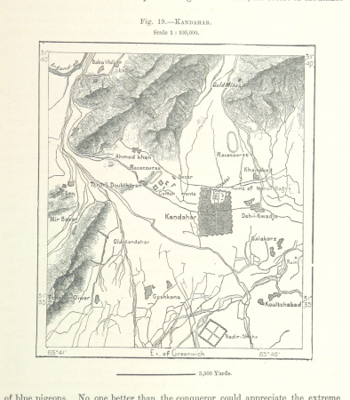
maps of kandahar
maps from the earth and its inhabitants, vol. iii
maps of the rhine
maps in the topographia austriacarum (merian)
baroque
algiers in the 19th century
old maps of algiers
nicolas desmarest
ambroise tardieu
engravings of topographia braunschweig lüneburg
baroque
engravings of topographia braunschweig lüneburg
baroque
topographia franconiae (merian)
baroque
miscellaneous items in high demand, ppoc, library of congress
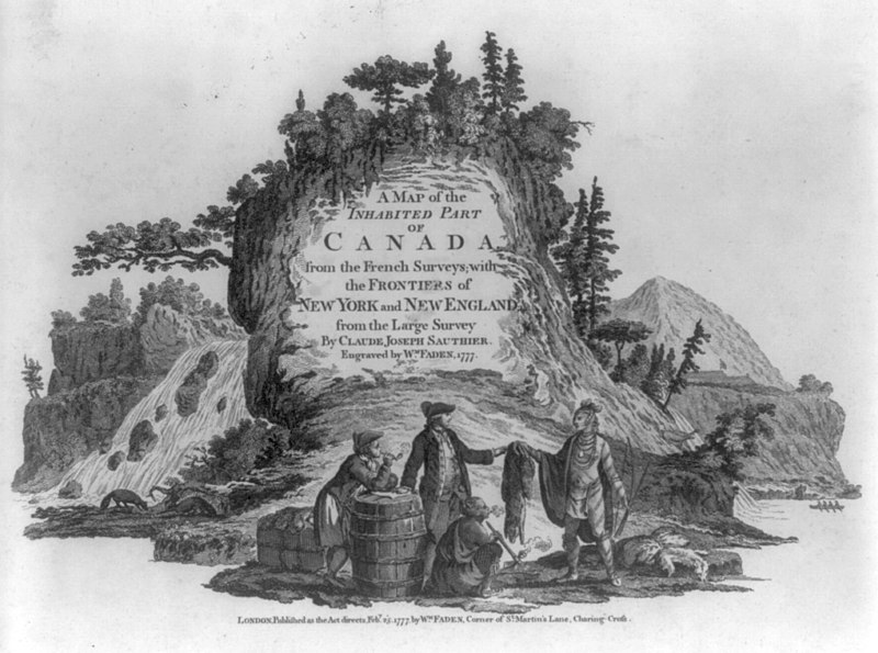
maps by claude joseph sauthier
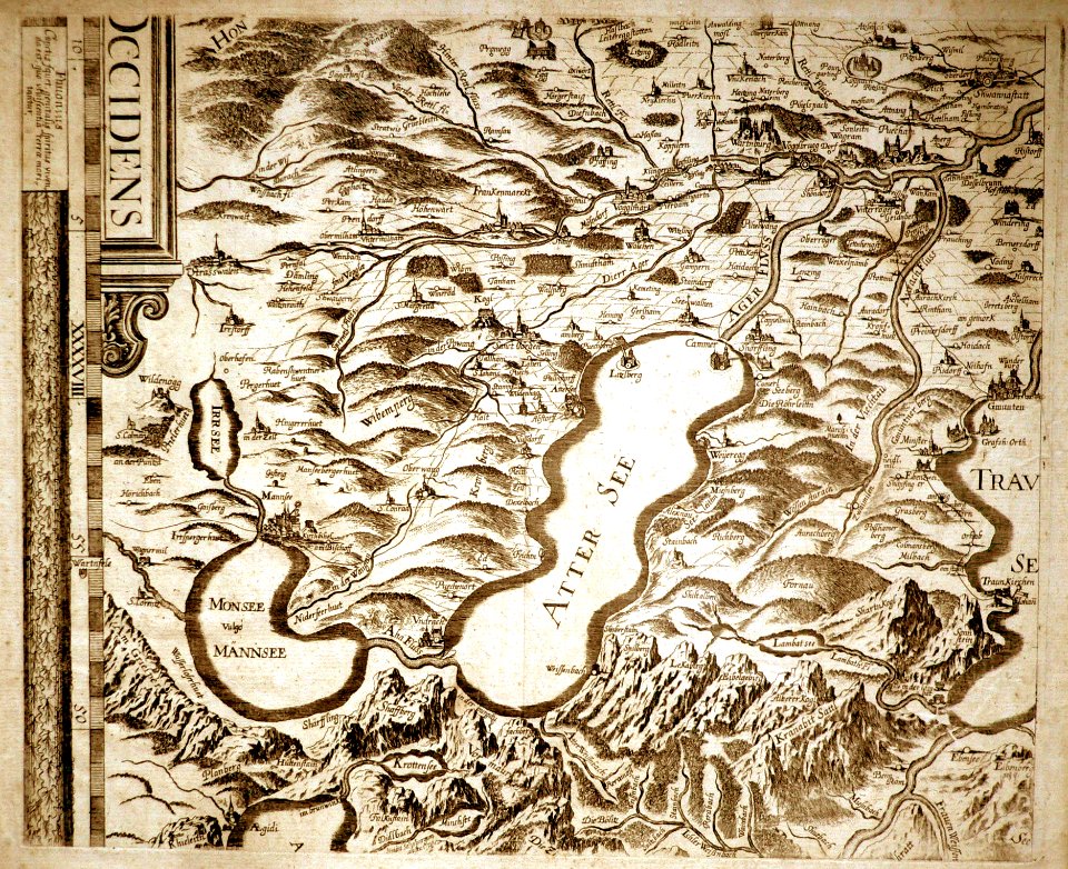
copper engravings in the universitätsbibliothek salzburg
wolf-dietrich-klebeband städtebilder
vrbivm praecipvarvm mvndi theatrvm qvintvm (1617)
maps of montlhéry by braun & hogenberg
vrbivm praecipvarvm mvndi theatrvm qvintvm (1617)
maps of münstermaifeld by braun & hogenberg
vrbivm praecipvarvm mvndi theatrvm qvintvm (1617)
maps of tours by braun & hogenberg
vrbivm praecipvarvm mvndi theatrvm qvintvm (1617)
maps of tønder by braun & hogenberg
old submaps of paris 1er arrondissement
plans of the palais-royal
vrbivm praecipvarvm mvndi theatrvm qvintvm (1617)
maps of visegrád by braun & hogenberg
vrbivm praecipvarvm mvndi theatrvm qvintvm (1617)
maps of sarrebourg by braun & hogenberg
vrbivm praecipvarvm mvndi theatrvm qvintvm (1617)
maps of zahara by braun & hogenberg
engravings of topographia braunschweig lüneburg
baroque
old maps of quedlinburg
baroque
turgot map of paris, norman b. leventhal map center – derivative files
rue de braque on maps
historical
history
maps in the topographia austriacarum (merian)
baroque
maps of saint paul's journeys
maps by thomas starling
andalusia in the 18th century
los palacios y villafranca
vrbivm praecipvarvm mvndi theatrvm qvintvm (1617)
maps of castelnuovo by braun & hogenberg
vrbivm praecipvarvm mvndi theatrvm qvintvm (1617)
maps of cártama by braun & hogenberg
vrbivm praecipvarvm mvndi theatrvm qvintvm (1617)
maps of acquapendente by braun & hogenberg
vrbivm praecipvarvm mvndi theatrvm qvintvm (1617)
maps of hildesheim by braun & hogenberg
vrbivm praecipvarvm mvndi theatrvm qvintvm (1617)
maps of lyon by braun & hogenberg
vrbivm praecipvarvm mvndi theatrvm qvintvm (1617)
maps of husum by braun & hogenberg
vrbivm praecipvarvm mvndi theatrvm qvintvm (1617)
maps of heide by braun & hogenberg
engravings of topographia braunschweig lüneburg
baroque
maps made in the 18th century
johann david schleuen
robert cordier (engraver)
maps by guillaume sanson
maps of dortmund by braun & hogenberg
engravings of dortmund
maps from university of amsterdam special collections
atlas der neederlanden
maps of münster (westfalen) by braun & hogenberg
civitates orbis terrarvm, liber primvs (1577)
civitates orbis terrarvm, liber primvs (1577)
maps of heidelberg by braun & hogenberg
panoramic maps of seville by braun & hogenberg
civitates orbis terrarvm, liber primvs (1577)
civitates orbis terrarvm, liber primvs (1577)
maps of groningen by braun & hogenberg
engravings by israël silvestre
spain in the 17th century
historical maps of zittau
baroque
battles of lexington and concord
amos doolittle
eran laor cartographic collection
william hughes (geographer)
grosser deutscher atlas
old maps of england
maps of roanoke island
theodor de bry
civitates orbis terrarvm, liber primvs (1577)
maps of tours by braun & hogenberg
civitates orbis terrarvm, liber primvs (1577)
maps of rouen by braun & hogenberg
18th-century maps of veneto
1700s maps of slovenia
engravings of topographia braunschweig lüneburg
baroque
engravings of theatrum europaeum
baroque
liber qvartvs contrafactur vnd beschreibung von den vornembsten stten der welt (zzk 0.32)
patrimonium 2 (project)
liber qvartvs contrafactur vnd beschreibung von den vornembsten stten der welt (zzk 0.32)
patrimonium 2 (project)
liber qvartvs contrafactur vnd beschreibung von den vornembsten stten der welt (zzk 0.32)
patrimonium 2 (project)
liber qvartvs contrafactur vnd beschreibung von den vornembsten stten der welt (zzk 0.32)
patrimonium 2 (project)
liber qvartvs contrafactur vnd beschreibung von den vornembsten stten der welt (zzk 0.32)
patrimonium 2 (project)
liber qvartvs contrafactur vnd beschreibung von den vornembsten stten der welt (zzk 0.32)
patrimonium 2 (project)
liber qvartvs contrafactur vnd beschreibung von den vornembsten stten der welt (zzk 0.32)
patrimonium 2 (project)
liber qvartvs contrafactur vnd beschreibung von den vornembsten stten der welt (zzk 0.32)
patrimonium 2 (project)
2101 - 2200 of 7,118
Next page
/ 72